
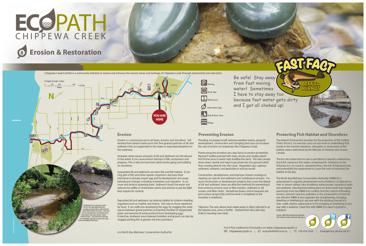
"Be safe! Stay away from fast moving water! Sometimes I have to stay away too because fast water gets dirty and I get all choked up!"

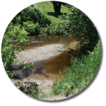
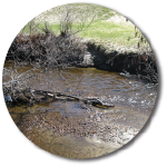
Erosion
Erosion is a natural process in all rivers, streams and shorelines. Soil washed from stream banks turns into fine-grained particles of silt and sediment that are suspended in the water or deposited elsewhere in the waterway.
However, when excess amounts of silt and sediment are introduced to the water, it can cause serious damage to fish, ecosystems and property. This is why we have laws about landscaping and building on shorelines.
Suspended silt and sediment can harm fish and fish habitat. It can clog gills of fish and other aquatic organisms, decrease their resistance to disease, impair egg and fry development and cause behavioural changes, including movement and migration. It can cover and destroy spawning beds. Sediment clouds the water and reduces the ability of underwater plants and animals to get the light they require for survival.
Deposited silt and sediment can destroy habitat for bottom dwelling organisms such as crayfish and insects. Fish rely on these organisms for food. It can suffocate developing fish eggs by clogging the small spaces between gravel particles, preventing the flow of oxygenated water and removal of waste products from developing eggs. Protective, sheltered areas between boulders and gravels can also be clogged putting fish at greater risk from predators.
Preventing Erosion
Flooding, increased runoff, extreme weather events, property development, construction and changing land uses can increase the rate of erosion on waterways like Chippewa Creek.
Plants along the shoreline are a key factor in erosion prevention. Riparian* buffers planted with trees, shrubs and smaller plants that thrive close to water help stabilize the bank. The tree canopy slows down rainfall and helps it percolate into the ground rather than running directly into the Creek. Vegetation also captures sediment, nutrients, and pesticides in surface runoff.
Construction, development, and improper stream crossings or clearing can add silt and sediment and contribute to erosion. For most construction or development projects that cause the release of silt and sediment, there are effective methods for preventing it from entering streams such as filter barriers, sediment or silt screens and filter cloths. Sometimes these control measures are put in place temporarily until the work is completed or the shoreline is stabilized.
*Riparian: The area where land meets water is often referred to as the riparian area, zone or buffer. Derived from the Latin ripa, meaning river bank.

Protecting Fish Habitat and Shorelines
The federal Fisheries Act provides for the protection of fish habitat. Under this Act, no one may carry out any work or undertaking that results in the harmful alteration, disruption or destruction of fish habitat unless authorized by the Minister of Fisheries and Oceans Canada.
The Act also states that no one is permitted to deposit a deleterious (harmful) substance into water containing fish. Violations to the Fisheries Act can result in substantial fines, the risk of imprisonment, and potentially the requirement to cover the costs of restoring the habitat at the site.
The North Bay-Mattawa Conservation Authority (NBMCA) is empowered to regulate development and activities in or adjacent to river or stream valleys, lake shorelines, watercourses, hazardous lands and wetlands. Development taking place on these lands may require permission from the NBMCA to confirm that the control of flooding, erosion, dynamic beaches, pollution or the conservation of land are not affected. NBMCA also regulates the straightening, changing, diverting or interfering in any way with the existing channel of a river, creek, stream, watercourse or for changing or interfering in any way with a wetland. Check first with NBMCA to see if a permit is required.
Source: With information from Fisheries and Oceans Canada www.dfo-mpo.gc.ca